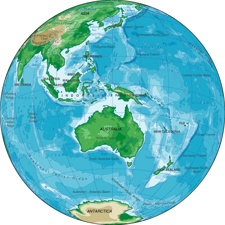
Topographic Map Of Australia
Map of Australia > Australia History | Australia Travel Tips |
Australia Relief Map | Australia Topographical Map
Some geographers consider Australia to be part of Oceania, a group of islands in the Pacific Ocean. In addition to Australia, Oceania includes New Zealand, New Guinea, and some 25,000 other islands situated north and east of Australia. In this context, Australia is viewed as the continental land mass of the Oceania region. Visit Wikipedia's Oceania page for more information on this hotly debated topic.
 |
Copyright © 2005-2025 Map-Of-Australia.us.
All rights reserved.
Australia Map Australia History & Culture • Australia Travel & Tourism Australia Relief Map • Australia Topographic Map
All rights reserved.
Australia Map Australia History & Culture • Australia Travel & Tourism Australia Relief Map • Australia Topographic Map